
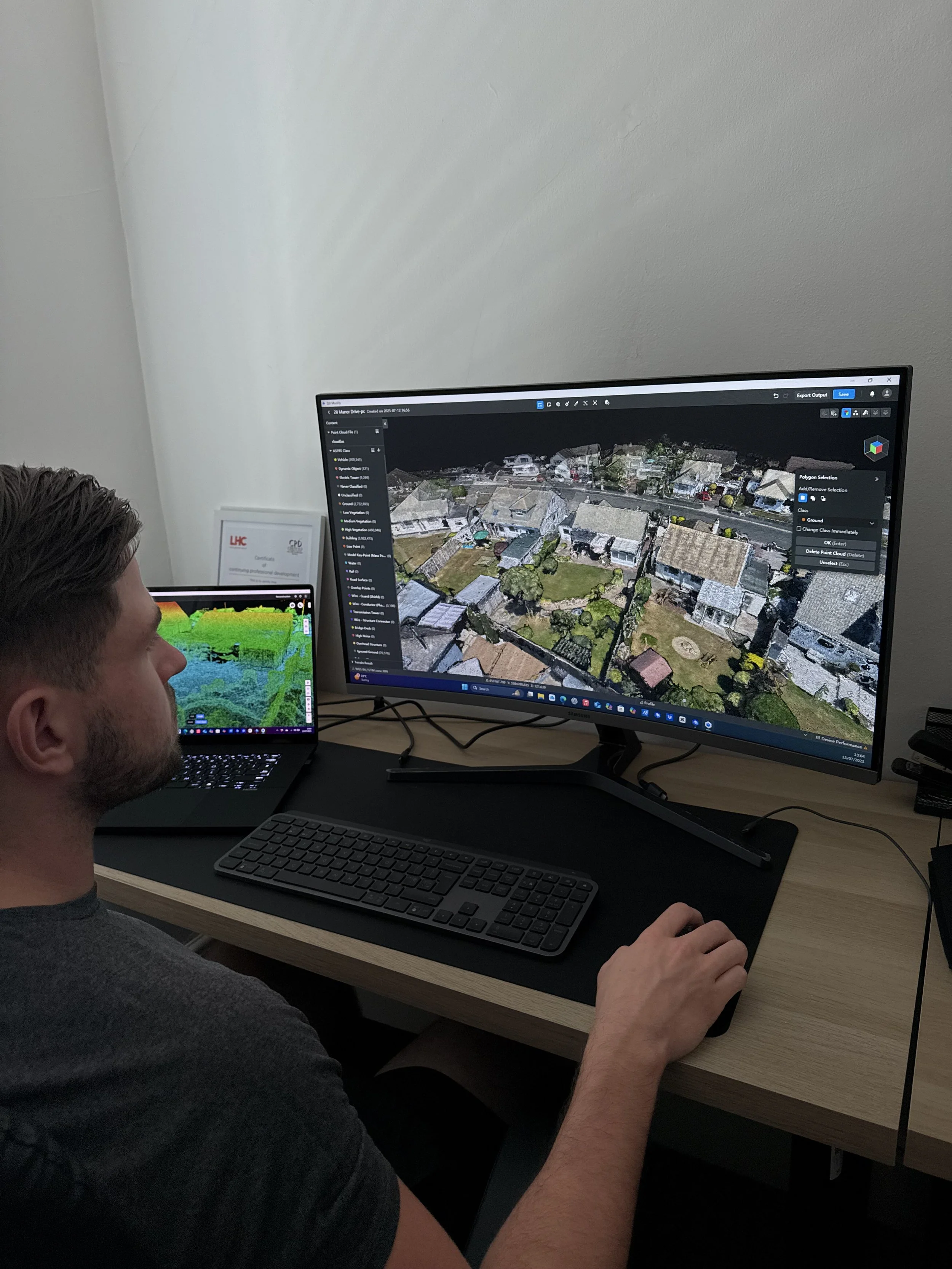
Advanced Drone Point Cloud Surveying
Our advanced drone surveying capability allows us to generate highly accurate 3D point clouds of buildings, sites and assets using photogrammetry and geospatial data capture. A point cloud is a dense collection of millions of spatially accurate data points that collectively form a precise digital representation of the real-world environment.
Using this technology, we can capture complex structures, large sites and hard-to-access areas quickly, safely and with minimal disruption to ongoing operations. The resulting point cloud can be used as a reliable foundation for measurement, analysis and digital modelling across the built environment.
Improved Accuracy & Confidence
Point clouds provide survey-grade accuracy, enabling reliable measurements for cost planning, design coordination, compliance checks and asset management—reducing the risk of errors and assumptions.
Time & Cost Efficiency
Large or complex sites can be captured in a fraction of the time of traditional methods, helping projects progress faster while reducing labour costs and repeat site visits.Enhanced Decision-Making
Stakeholders gain a clear, visual understanding of existing conditions, supporting better-informed decisions at early project stages and throughout the asset lifecycle.Safer Data Capture
Drones eliminate the need for working at height or accessing hazardous areas, significantly improving health and safety compliance.Seamless Integration
Point clouds can be integrated into CAD, BIM and digital twin workflows, supporting design development, clash detection, refurbishment planning and long-term asset strategies.